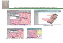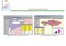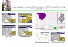
Pilot Project (Abbottabad)
BACK TO PROJECTS

Name of associated firm :
-
Project Location within Country:
Classified
Start Date:
May 1997
Completion Date:
July 1997
Project Description
Digitized a part of the City of Abbottabad as a pilot project and prepared the GIS of the following digitized features namely:
-
Broken Land
-
Well, Tube-Well & Pumping Station
-
Water Course
-
Electric Pole
-
Sewerage
-
Properties Parcels (Houses)
-
Nullah
-
Highways
-
Main Power Line
-
Metalled Road
-
Grid
-
Un-metalled Road
-
Cantonment Boundaries
Services
All the above services were provided by ECIL from its in-house resources.
-
Digitized the map of Abbottabad in ArcCAD Version 12.0
-
Import the data in Arc/Info Version 3.4.2, cleaning the data, normalizing. Then build and clean all the above mentioned themes for overlays
-
Used ArcView 2.1 as front end queries


